VirtualSite: overlay Matterport scan on Google Maps (using point pairs)
/The ability to overlay Matterport scans on Google Maps is a new feature for the VirtualSite platform. We provide users with two alternative methods to do this;
- Align using Drag and Drop: much easier and faster using a new drag and drop tool (see overlay Matterport scan on Google Maps using drag and drop for more info)
- Align using Point Pairs: more accurate but slower process (see below for more info).
Why point pairs?
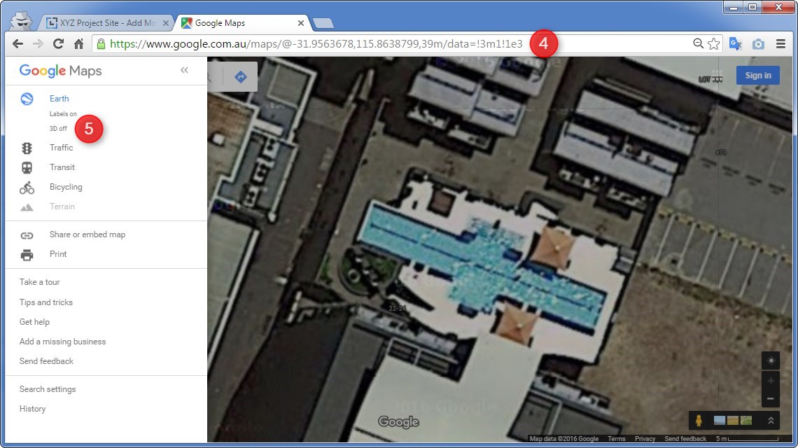
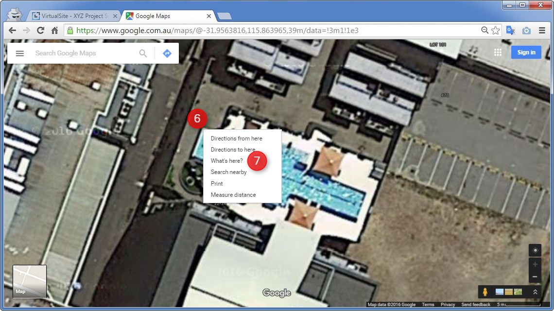
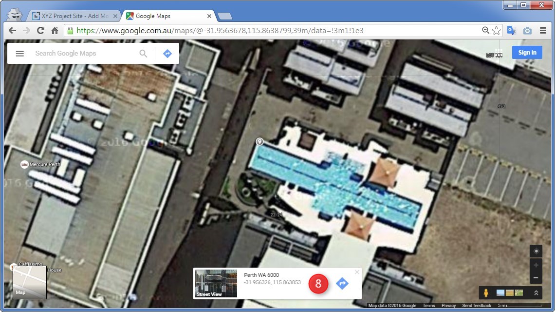
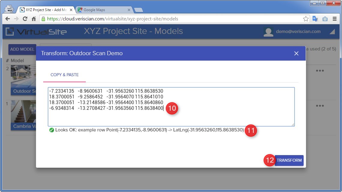
The rationale behind mapping point pairs in this way is to provide Matterport users with a mechanism to "accurately" align scans without the guess work of manually overlaying a scan. This means ascertaining the correct latitude and longitude for a number of locations in your Matterport scan. The easiest way to do this would be to use a GPS while scanning your site to log latitude and longitude data of selected landmarks. If you do not have access to a GPS or GPS data, other alternatives include; using known coordinates from any construction documentation (e.g. floorplans); or even using Google Maps satellite view. For the purpose of this guide, we have chosen to use Google Maps satellite view.
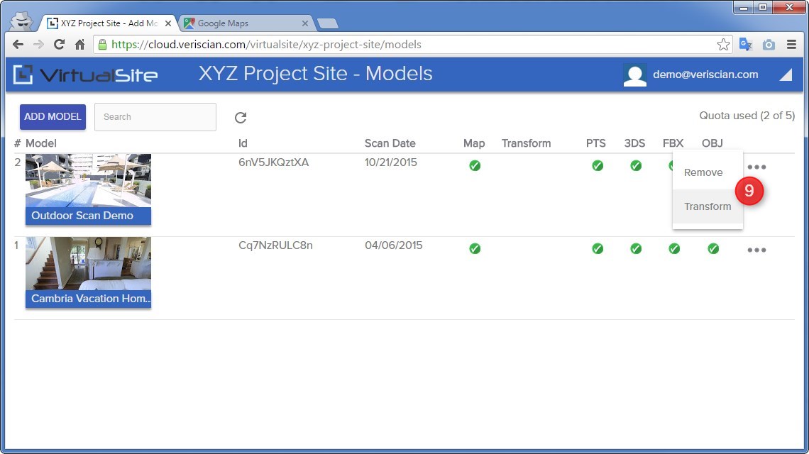
Note: currently, mapping point pairs is the only way to align Matterport scans with Google Maps using the VirtualSite platform. Depending on user interest and feedback for this feature we may look at adding functionality to manually align scans in subsequent releases.
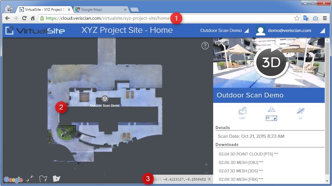
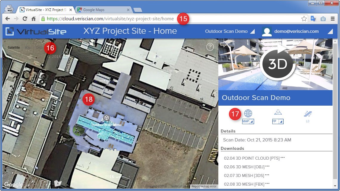
Example: overlaying an outdoor scan on Google Maps
For this example, we have chosen to use a scan of an outdoor area that includes a large pool. This will allow us to geolocate the same area using Google Maps and extract enough common points to accurately align the scan.


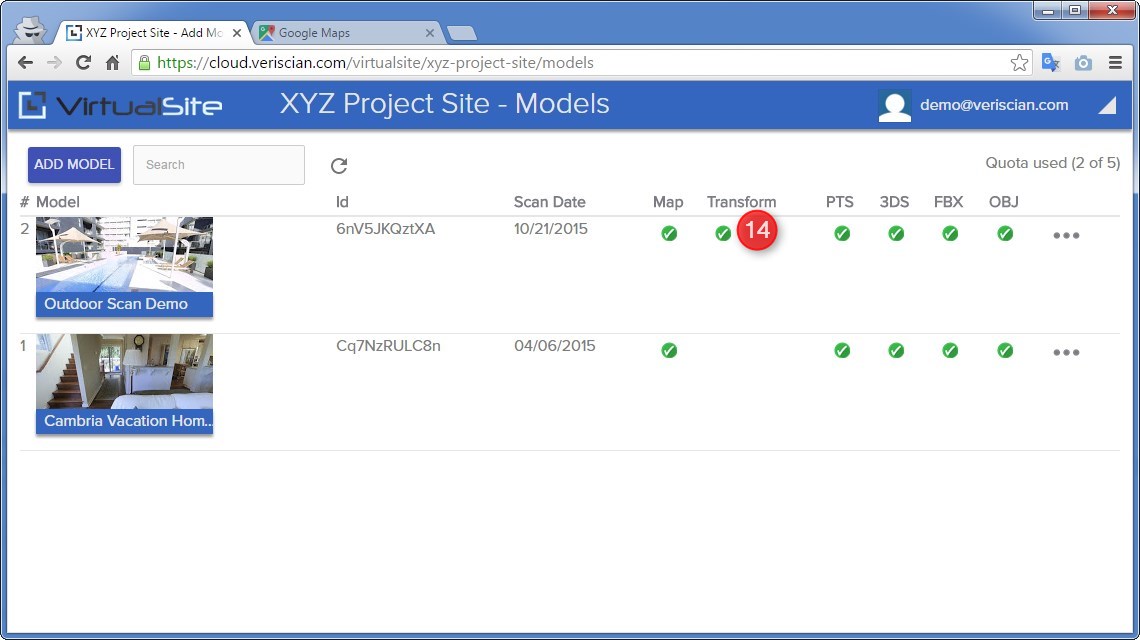
How to